


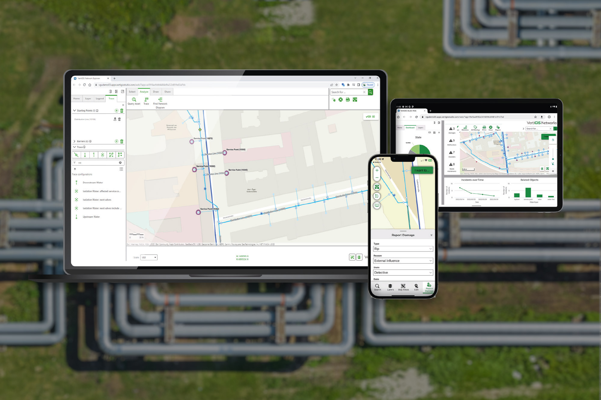
Holistic Utility Network Management: simple, flexible, integrated. VertiGIS Networks supports utilities in digitally managing their infrastructure—from planning to maintenance. Built on Esri technology, we offer flexible configurations and seamless integration into your existing IT landscape.
What is VertiGIS Networks?
VertiGIS Networks digitizes your utility infrastructure—for electricity, gas, water, wastewater, telecommunications, district heating, and cooling.
The web-based and mobile software integrates seamlessly into your systems and supports all sectors through planning, operations, and maintenance. This enables efficient workflows, high security, and full transparency.
Why Choose VertiGIS Networks?

Industry-Focused Web Solutions
Specialized functions for utility networks improve workflows across the asset life cycle. Applications are built on ArcGIS and VertiGIS Studio and designed for real-world use.

Quick to Configure & Expand
The software is ready to use out of the box. Extensions can be implemented without programming—for customizations with minimal maintenance effort.

Cloud Operation & System Integration
The GIS infrastructure can be fully operated in the cloud. Standardized interfaces enable direct integration with ERP and operations management systems.
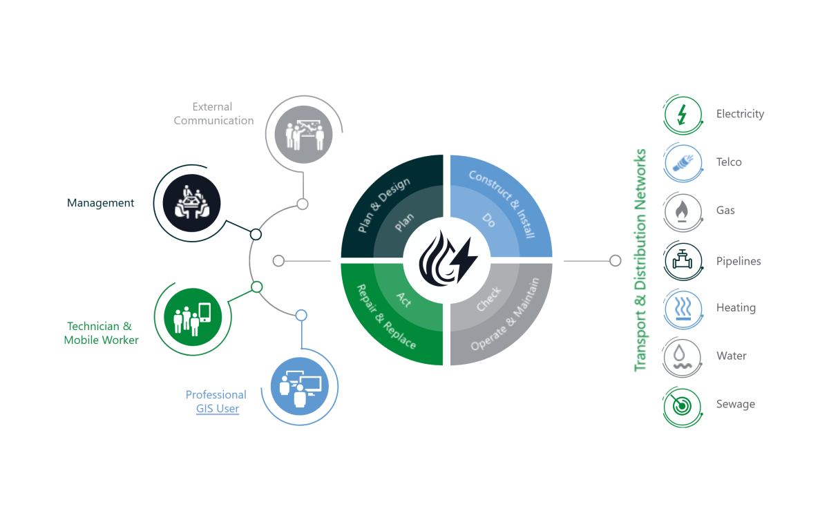
Digital Lifecycle of Your Utility Networks
Whether electricity, water, gas, district heating, or telecommunications: VertiGIS Networks supports your infrastructure through all phases—from planning to renewal. This ensures continuous documentation, providing full control and transparency.
BOOK A SOFTWARE DEMOOur Networks customers make an impact.






Achieve Greater Efficiency with VertiGIS Networks
Work seamlessly across web and mobile platforms with flexible, industry-specific features.
Automated interfaces streamline workflows and boost productivity.
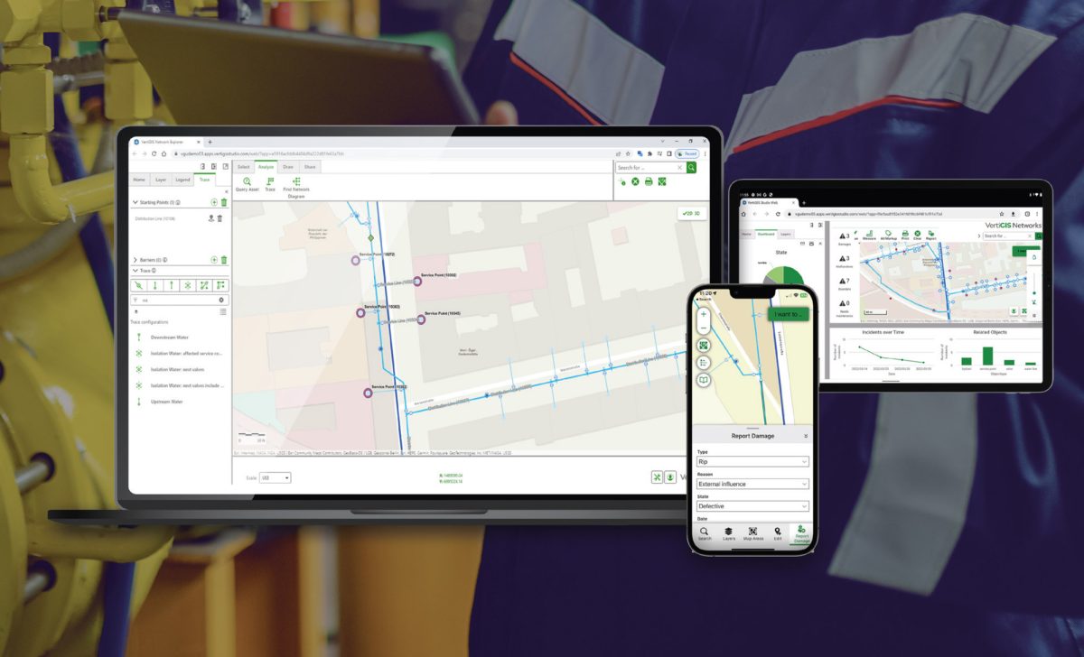
Web-Based Solution
Access your network data from anywhere—with unified tools across all devices. Whether in the office, on-site, or offline in the field: your data is always available and reliably usable.

Asset Life Cycle Focus
Document assets consistently and maintain them sustainably through system integrations. This builds a reliable data foundation and ensures transparency throughout the entire lifecycle.
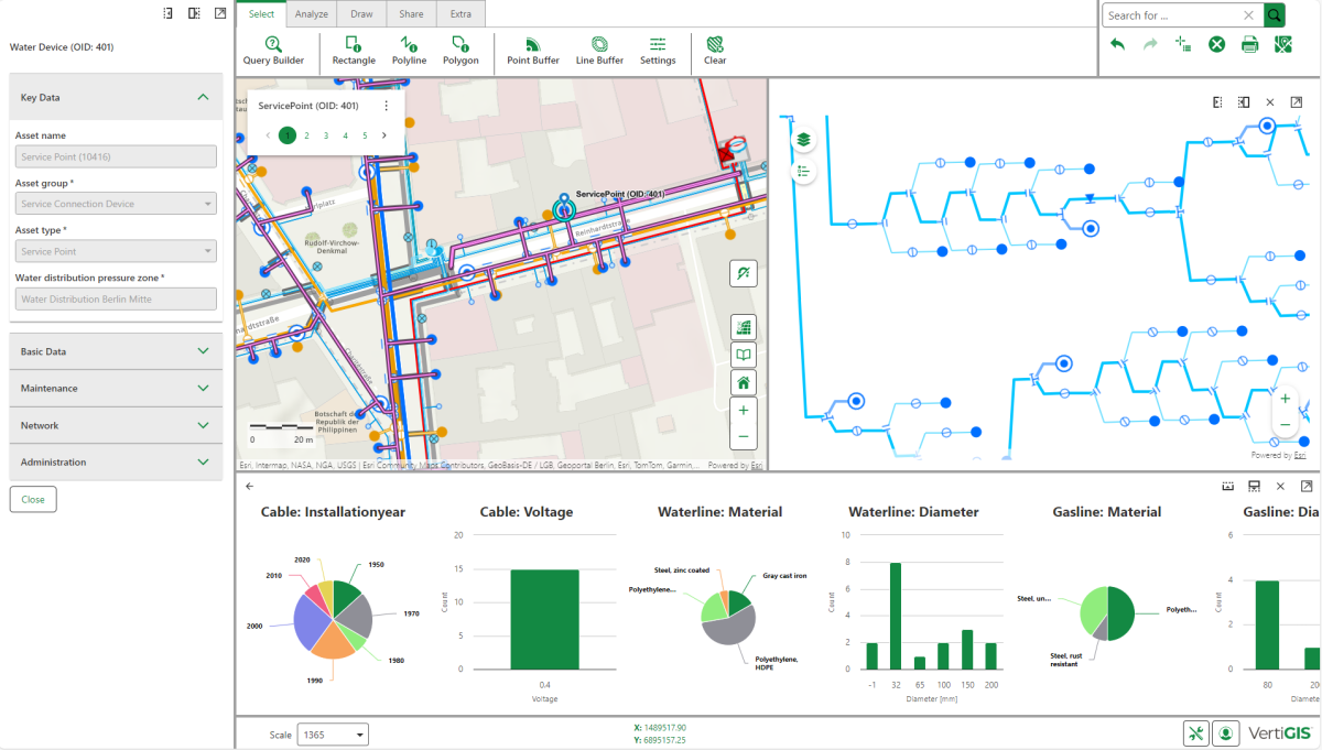
Multi-Domain Data Model
Benefit from specialized tools and data models for electricity, gas, water, wastewater, telecommunications, district heating, and cooling—for precise, efficient, and secure network management.
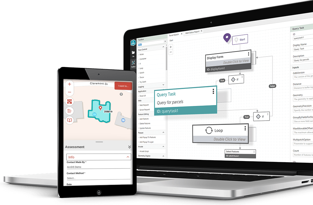
Configurable Framework
Easily tailor the solution to your needs. The customizable framework ensures efficient management of extensions and long-term use of customizations.

Rapid Implementation
Quickly implement the solution thanks to cloud-ready architecture. Automated interfaces significantly reduce your operational and maintenance effort, delivering tangible benefits fast.
BOOK A SOFTWARE DEMOProduct Offering


Tailored GIS Solutions for Every Industry
VertiGIS Networks is deployed in many sectors. For each utility industry, the software offers specialized functions and data models—for secure, efficient, and future-ready infrastructure.

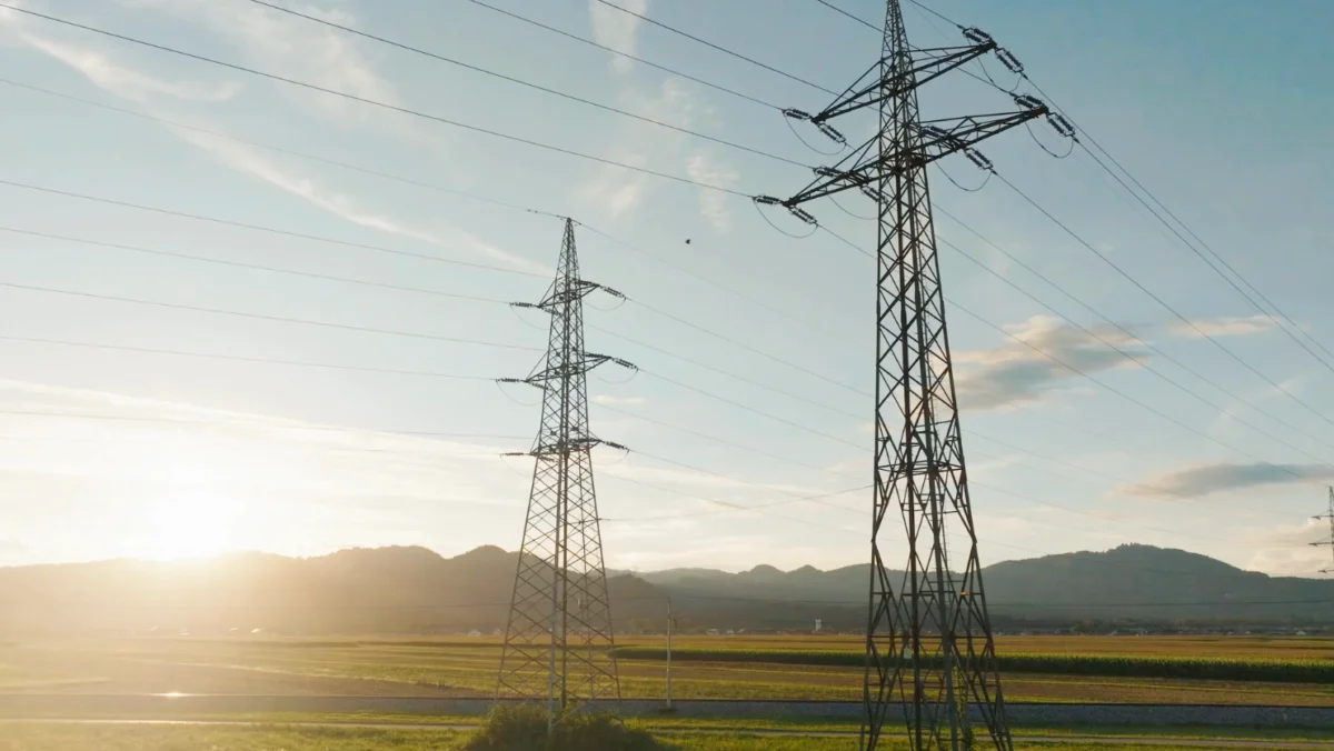
Document and maintain high-, medium-, and low-voltage networks precisely in GIS. From substations and switching stations to house connections: assets, lines, and switching states are fully digitally represented.

Reliably manage transmission and distribution networks for high-, medium-, and low-pressure. Lines, valves, stations, and measuring points are digitally recorded, maintained, and integrated into safety and pressure tests.
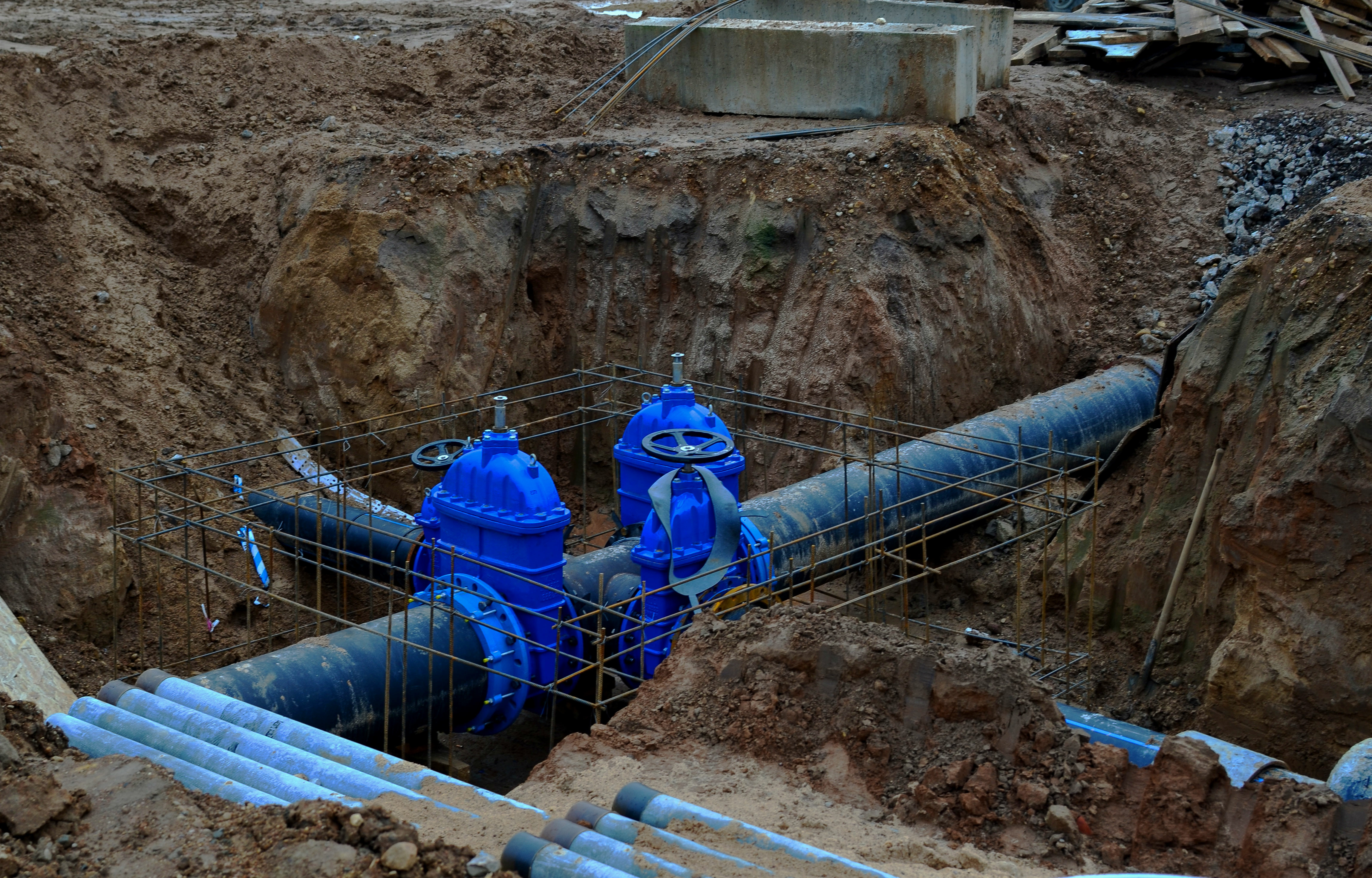
Manage drinking water networks with mains, distribution lines, hydrants, and valves consistently in GIS. Features like network tracing, incident management, and maintenance planning ensure supply and quality.

Record sanitary, combined, and stormwater sewers as well as special structures like manholes, pumping stations, or overflow basins. Condition assessments, CCTV inspections, and rehabilitation planning provide transparency across the network.
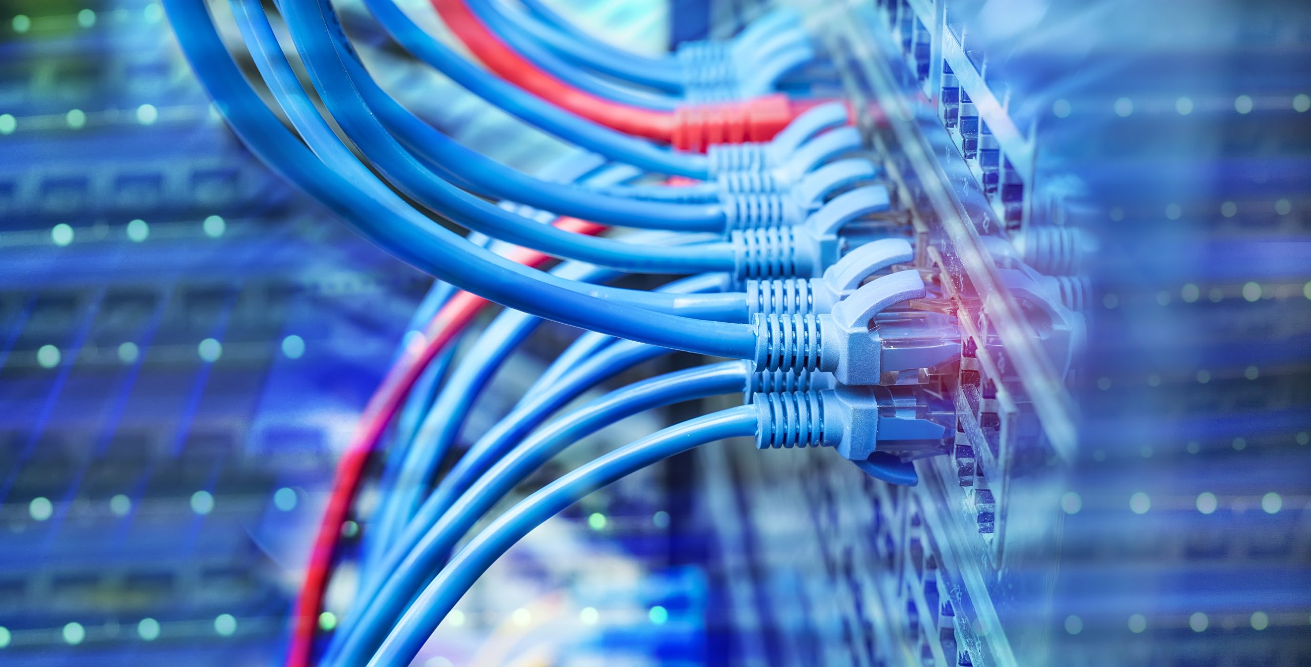
Model fiber and copper networks down to fiber and port level. Cables, splices, distribution points, building connections, and active equipment are represented—for expansion planning, network operations, and availability checks.
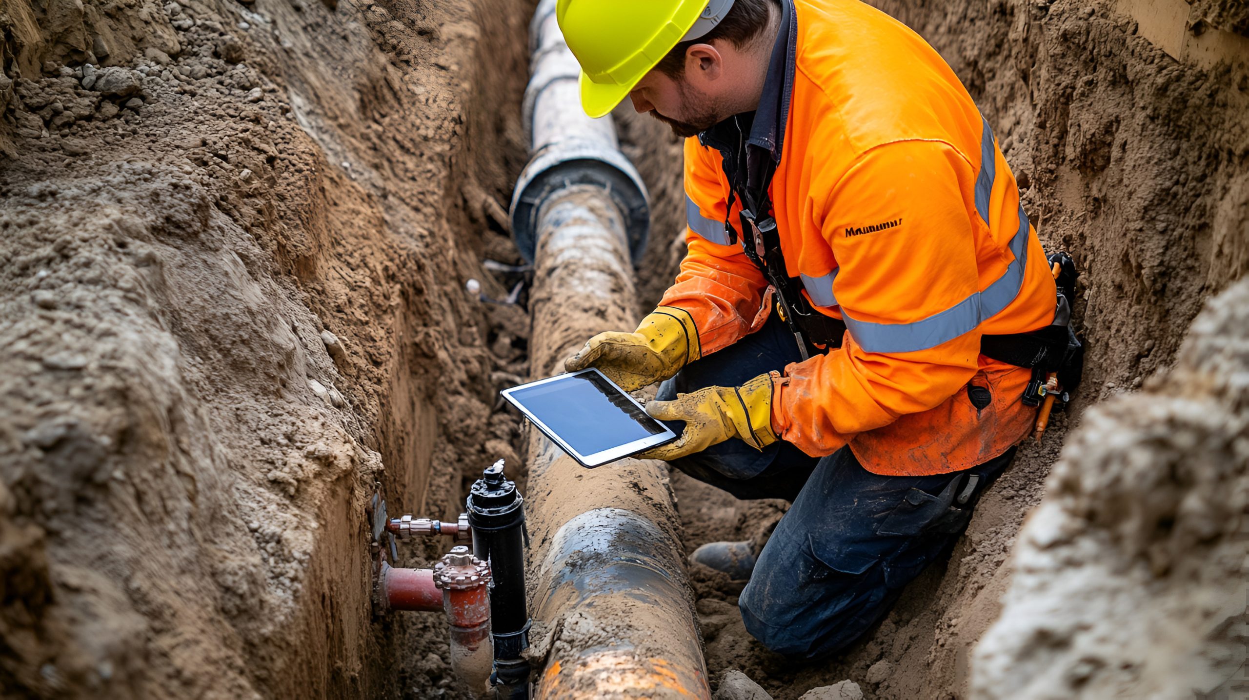
Manage heating and cooling networks including mains, house connections, and transfer stations. Network calculations, load flow analyses, and maintenance strategies support operational safety and network optimization.
Related Story
Utility Network Migration: Don’t Bring Legacy Problems with You
Written by Steve MaddisonSenior Account Executive, VertiGIS . . Turn your ArcGIS Utility Network migration into a modernization initiative, not just a technology upgrade. . Moving to a new home Read More
Related Story
Why Mobile GIS Must Evolve Beyond Maps and Data Collection
Written by Cam BarnardProduct Director, VertiGIS . . VertiGIS Neo solutions enable organizations to bring data, workflows, and decision-making closer to the field Executive Summary Mobile GIS is undergoing a Read More
Related Story
AI-Powered Geospatial Intelligence
Written by Michael Schlagel VP of Sales Americas, VertiGIS . . In an Industry Defined by Expansion, Integration, and AI, Data Quality Has Become the Competitive Advantage The telecom industry Read More
Related Story
AI-Powered Geospatial Intelligence
Written by Drew Millen Chief Technology Officer at VertiGIS . . Empowering more users to make better decisions by reducing complexity and increasing organizational agility Executive Summary: AI is reshaping Read More
Related Story
Utility Network adoption shouldn’t require operational disruption
Written by Greg Brazeau Director of Sales, Utilities at VertiGIS . . Accelerate Time-to-Value in Utility Network Migration Introduction For many utilities, moving to Esri’s ArcGIS Utility Network isn’t a Read More
Ready to Harness the Power of Your Spatial Data?
Discover our software solutions
Our experts will help you solve your industry-specific challenges.
Tell us a little about yourself and we will be in touch with you soon!
FAQs
VertiGIS Networks is a powerful suite of applications designed to manage, document, and visualize utility and telecommunications networks built on Esri ArcGIS Enterprise and the ArcGIS Utility Network. It helps organizations model their entire network infrastructure, from the physical location of cables and pipes to the logical connections between them. Integrating with enterprise systems such as ERP, CRM, or network management systems (e.g., SAP) allows for more efficient planning, maintenance, and operation of network assets across the entire lifecycle.
VertiGIS Networks supports a wide range of network types, including:
- Electric Grids: Transmission and distribution networks.
- Gas: Transmission and distribution pipelines.
- Water & Wastewater: Water distribution systems and sewer networks.
- Heating and cooling: District heating and cooling networks
- Telecommunications: Fiber optic (FTTx), copper, and coaxial networks.
Key capabilities include:
- Web-based Viewing & Editing: Manage and update network data from any browse.
- Automated Schematics: Generate logical, physical, and geographic diagrams.
- Advanced Tracing Tools: Analyze connectivity, find shortest paths, and diagnose issues.
- Data Quality & Validation: Enforce rules and standards to ensure the integrity and accuracy of your network data.
- Seamless integrations: Connect with ArcGIS and enterprise systems like ERP and CRM (e.g., SAP, Salesforce).
Yes, VertiGIS Networks is an application built for the Esri ArcGIS platform. It leverages the ArcGIS Utility Network and provides domain-specific data models for utilities such as electric, gas, water, wastewater, district heating and cooling, and telecommunications.
No, VertiGIS Networks enhances the capabilities of ArcGIS Utility Network. While Utility Network provides the foundational data model and framework, VertiGIS Networks extends those for all utility sectors and adds user-friendly applications and advanced tools. These include schematic generation, web-based editing, and enhanced tracing, to simplify complex workflows for network operators and engineers.
VertiGIS Networks supports a wide range of users within a utility or telecommunications company, including:
- Network Planners & Engineers: For designing network extensions and analyzing capacity.
- GIS Analysts & Technicians: For data creation, maintenance, and quality control.
- Field Crews: For accessing up-to-date network maps and asset information on-site.
- Operations Managers: For gaining a holistic view of the network's status and performance.
- Customer Service Representatives: For quickly identifying outages and service availability.
Yes, VertiGIS Networks offers flexible deployment options, including on-premises, private cloud, or in a cloud environment hosted by VertiGIS. For added convenience, VertiGIS can fully manage your VertiGIS Networks deployment as a managed service, allowing your team to focus on what matters most—your core business. Organizations can choose the model that best fits their security, scalability, and operational needs.
By providing a centralized, accurate digital view of your network, it's helping your team:
- Reduce Planning Time: Quickly design and cost new projects.
- Shorten Outage Durations: Rapidly locate faults and identify affected customers.
- Improve Data Accuracy: Eliminate data silos and ensure everyone works from a single source of truth.
- Streamline Workflows: Automate manual processes like generating schematics and reports.
- Enhance Decision-Making: Gain deeper insights into your network's condition and performance.